What We Do
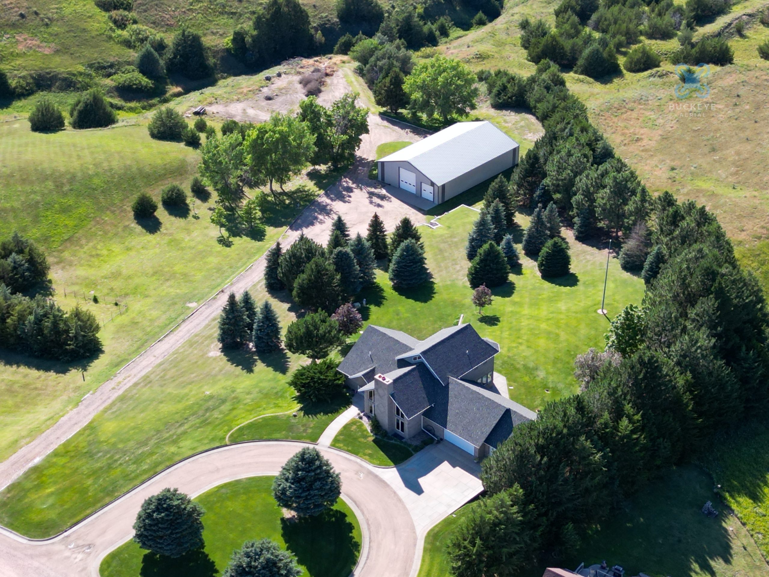
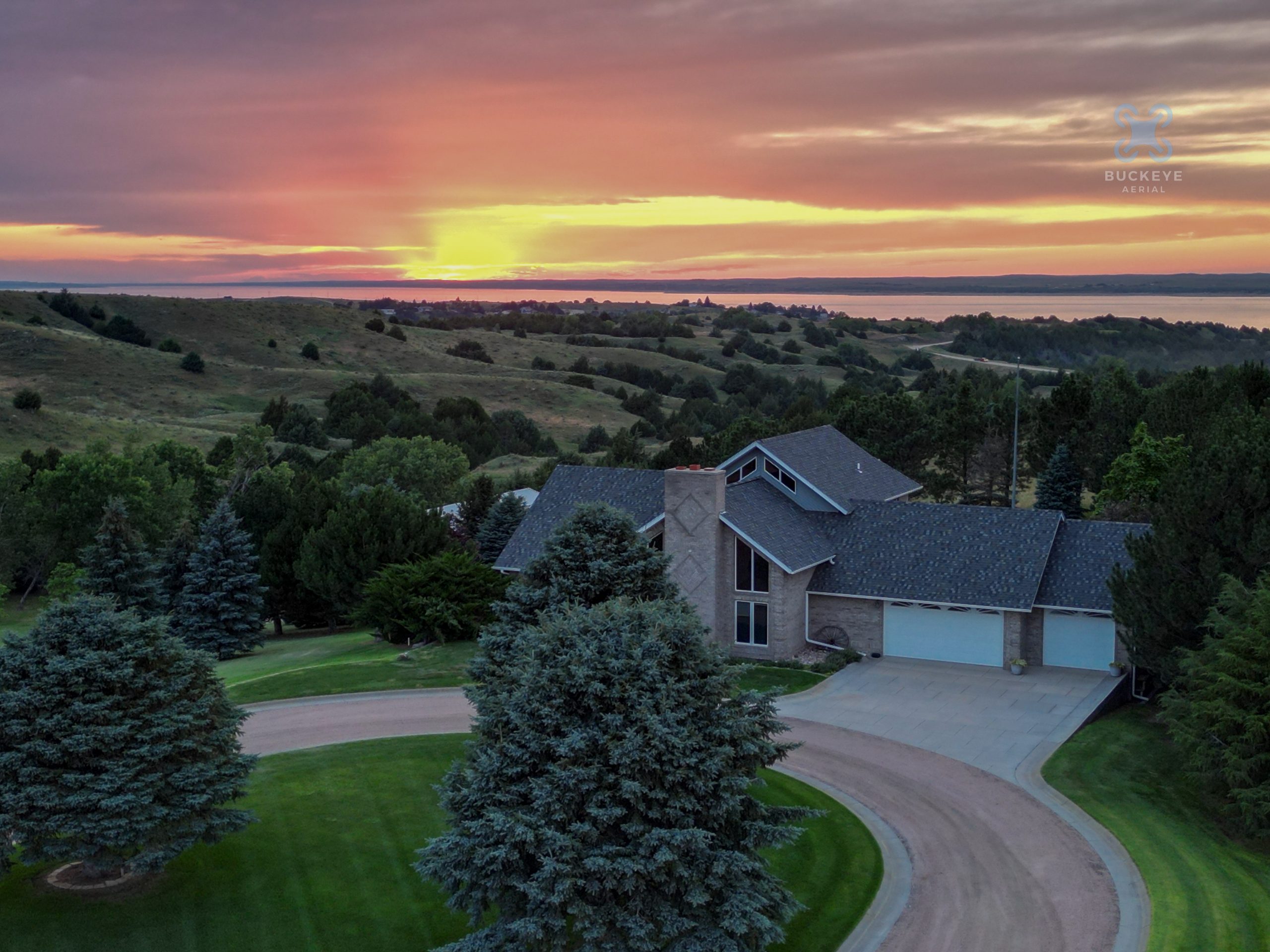
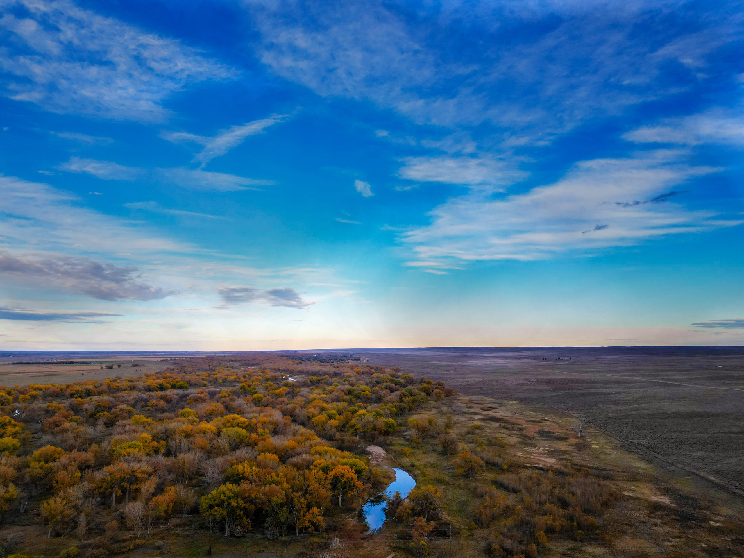
Photography and Videography
At Buckeye Aerial, we redefine visual storytelling through expert photography and videography, blending cutting-edge drone technology with traditional still camera artistry. Our aerial photography and videography capture breathtaking, high-resolution perspectives, perfect for dynamic real estate showcases, cinematic footage, or stunning promotional content. Complementing this, our still camera photography delivers crisp, vibrant images with meticulous attention to composition and lighting, ideal for portraits, landscapes, or commercial projects. With a passion for creativity and precision, Buckeye Aerial crafts compelling visuals that elevate your brand, project, or vision with unparalleled quality and impact.
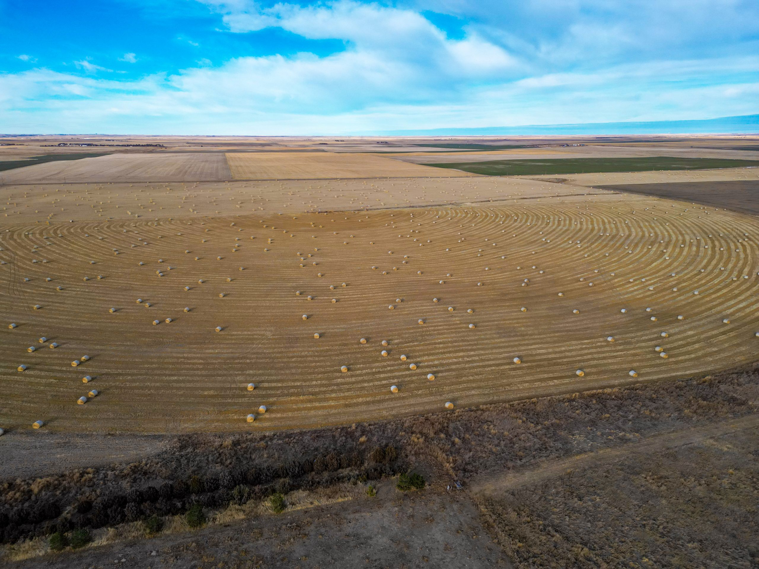
Agriculture
We transform agriculture through expert aerial photography and videography, delivering powerful insights for farming operations. Our high-resolution drone imagery captures expansive field views, enabling precise monitoring of crop health, irrigation patterns, and pest activity. With a commitment to precision and innovation, Buckeye Aerial empowers farmers with vivid, actionable visuals to optimize yields, reduce costs, and enhance productivity with unparalleled clarity.
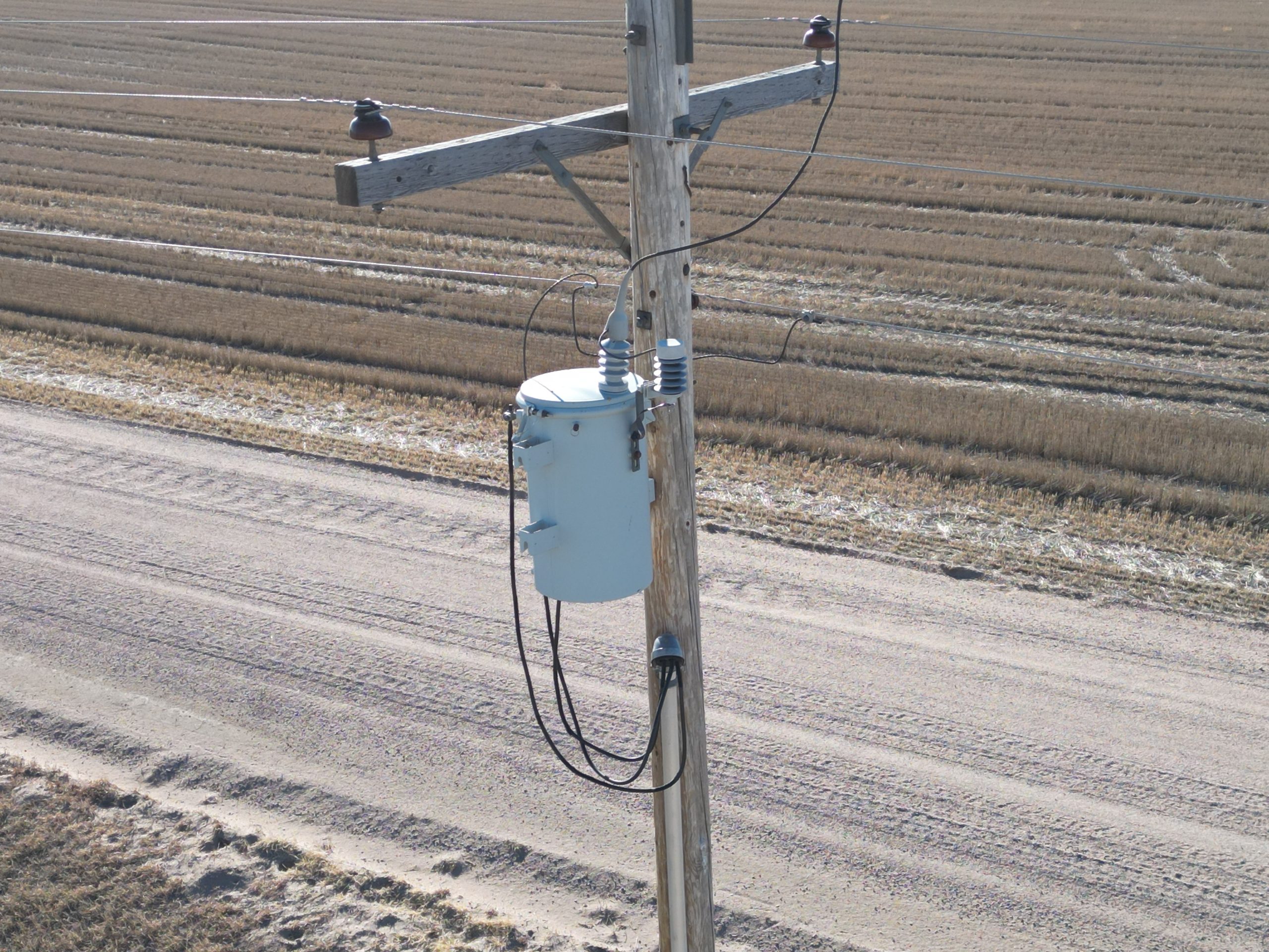
Energy Infrastructure Inspection
We enhance energy infrastructure management through expert aerial photography and videography, delivering critical insights for operational efficiency. Our high-resolution drone imagery captures detailed views of wind turbines, solar panels, power lines, and other infrastructure, enabling precise inspections for maintenance, damage assessment, and compliance monitoring. With a commitment to precision and innovation, Buckeye Aerial provides energy companies with vivid, actionable visuals to optimize performance, reduce downtime, and ensure safety with unparalleled clarity.
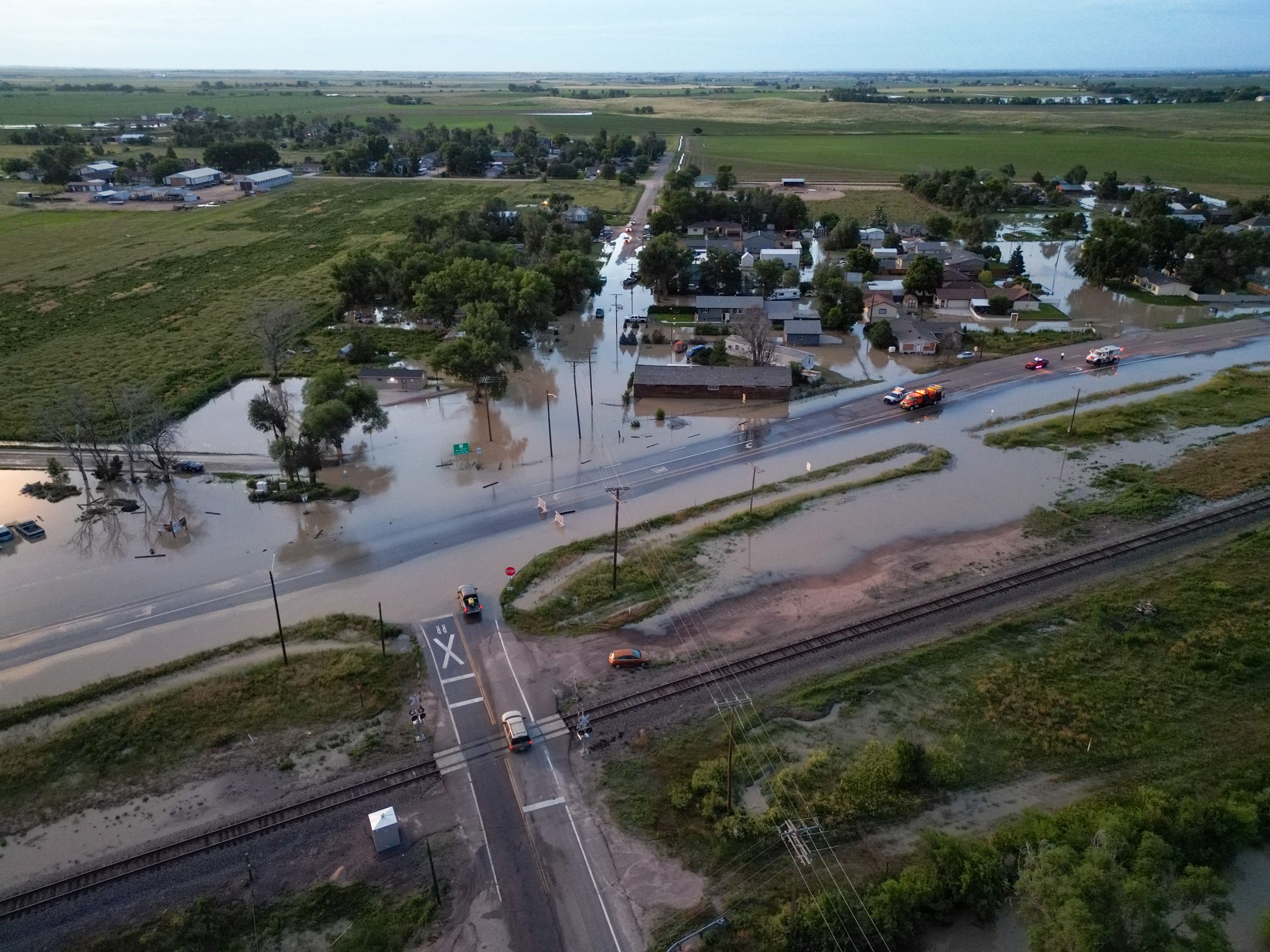
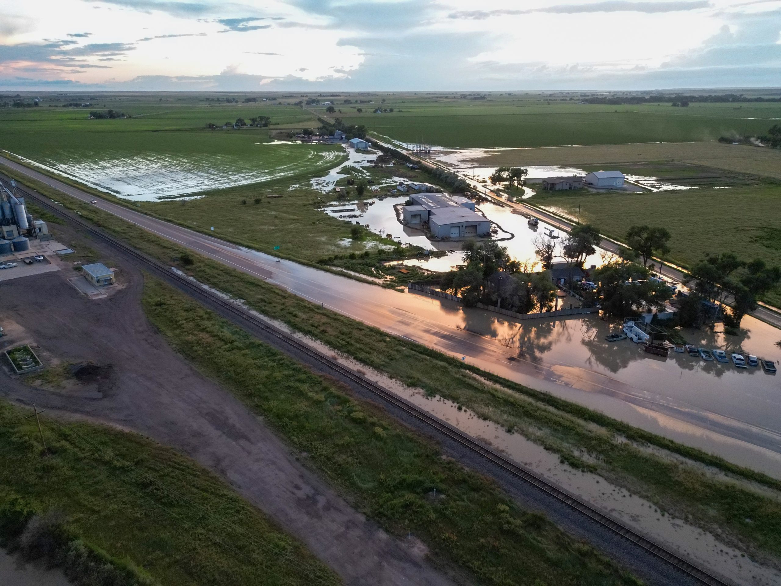
Insurance
At Buckeye Aerial, we streamline insurance assessments through expert aerial photography and videography, delivering critical insights for claims and risk evaluation. Our high-resolution drone imagery captures detailed views of properties, infrastructure, and disaster-affected areas, enabling precise damage assessments, accurate documentation, and efficient claims processing. With a commitment to precision and innovation, Buckeye Aerial provides insurance professionals with vivid, actionable visuals to enhance decision-making, reduce costs, and improve accuracy with unparalleled clarity.
Pricing-
$100/hour plus transportation costs
Flat Rate Pricing-
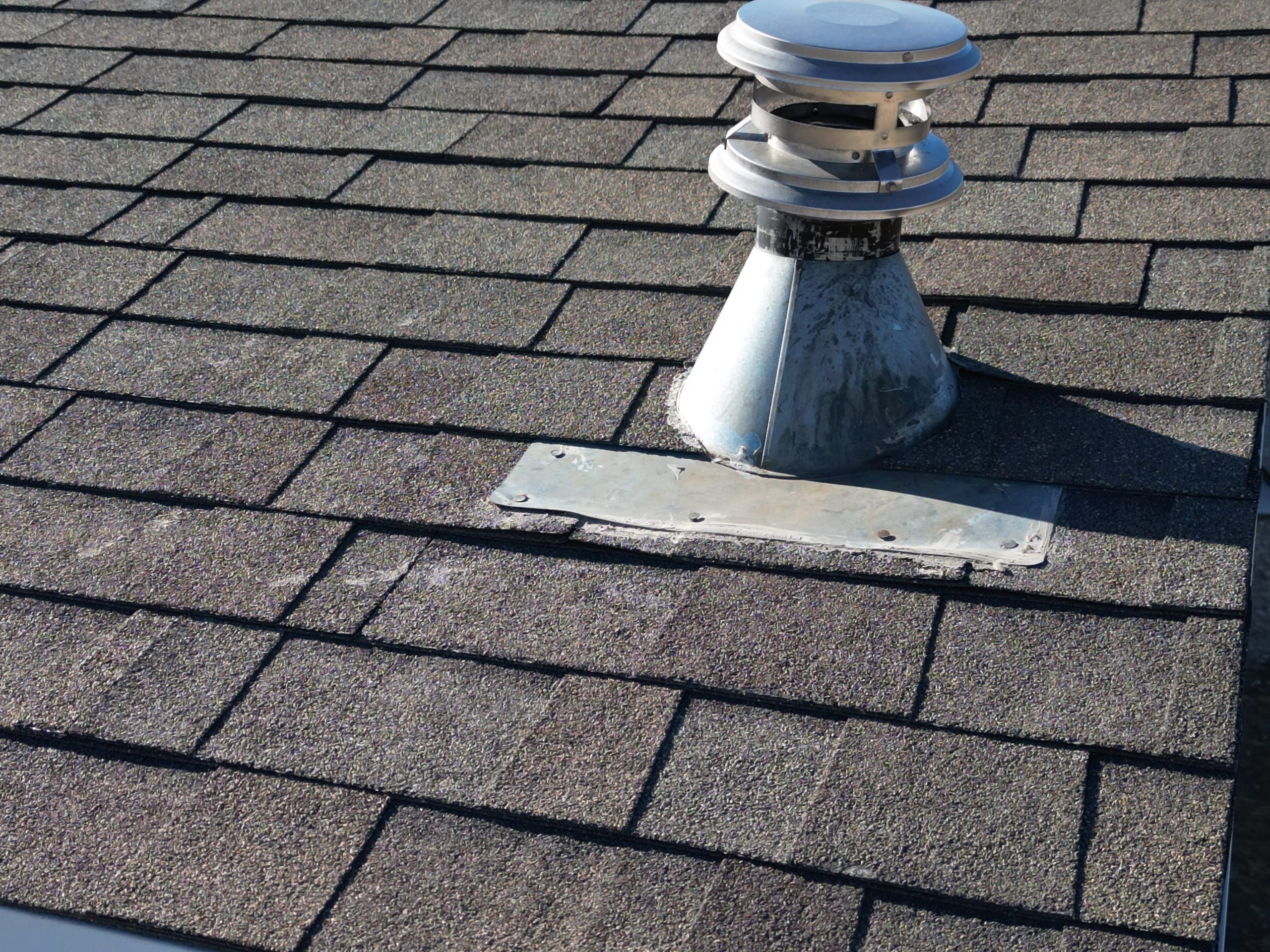
Roof Inspections- $100
Real Estate Sales-$250
Farm Inspections-$250
Schedule a Free Consultation
Ready to elevate your project with Buckeye Aerial’s expert drone services? Book a free consultation today! Whether you need stunning aerial photography, videography, or precise inspections for agriculture, energy, insurance, or commercial projects, our team, led by Part 107 certified pilot Chris, is here to tailor solutions to your needs. Serving Western Nebraska, Northern Colorado, Eastern Wyoming, and Northwestern Kansas, we’ll discuss your goals and provide a customized plan to bring your vision to life. Contact us now to schedule your free consultation and soar to new heights with Buckeye Aerial!